As part of the GIZ project, field studies of the transboundary Zaravshan River were conducted in Tajikistan with the aim of establishing a transboundary early warning system for hydrological disasters
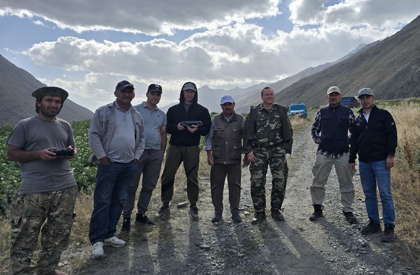
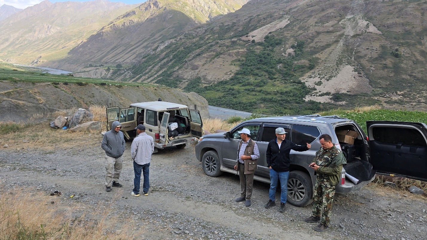
From July 29 to August 6, 2025, a group of experts from the Center conducted the third phase of field research on the Zaravshan River in the Republic of Tajikistan with the aim of creating a transboundary early warning system for hydrological disasters in Central Asia. The field research is being conducted as part of the Center's project “Strengthening the Capacity for Safe Management of Transboundary Water Resources in Central Asia Using Innovative Information and Communication Technologies,” which is being implemented with financial support from the GIZ program “Climate Risk Management in Central Asia” on behalf of the German government and co-financed by the UK government for international development.
The group of experts included early warning systems (EWS) expert V.Kuchkin, chief expert of the Center B.Ospanov, and system administrator of the Center A. Ospanov. Organizational and logistical support in the Republic of Tajikistan was provided by local expert and hydrologist of the Project Jafar Niyazov.
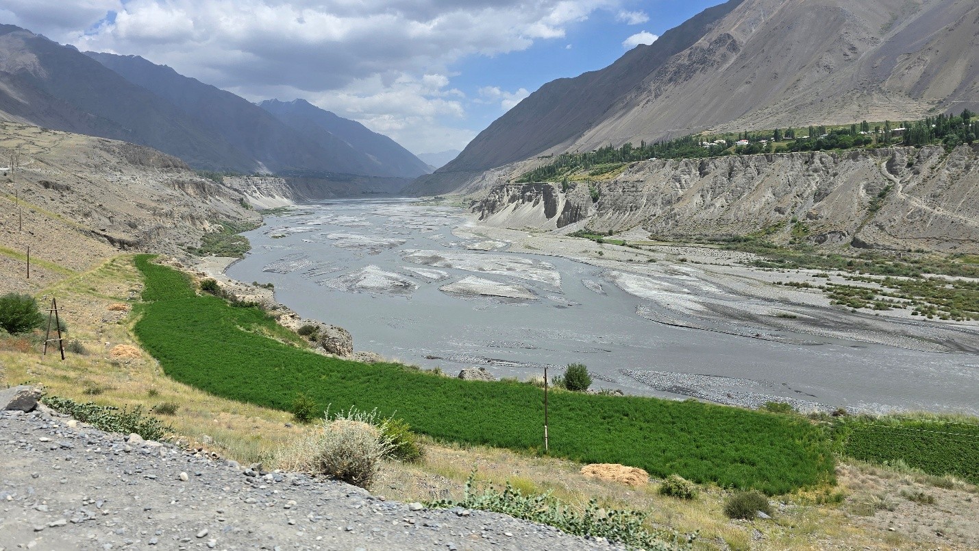
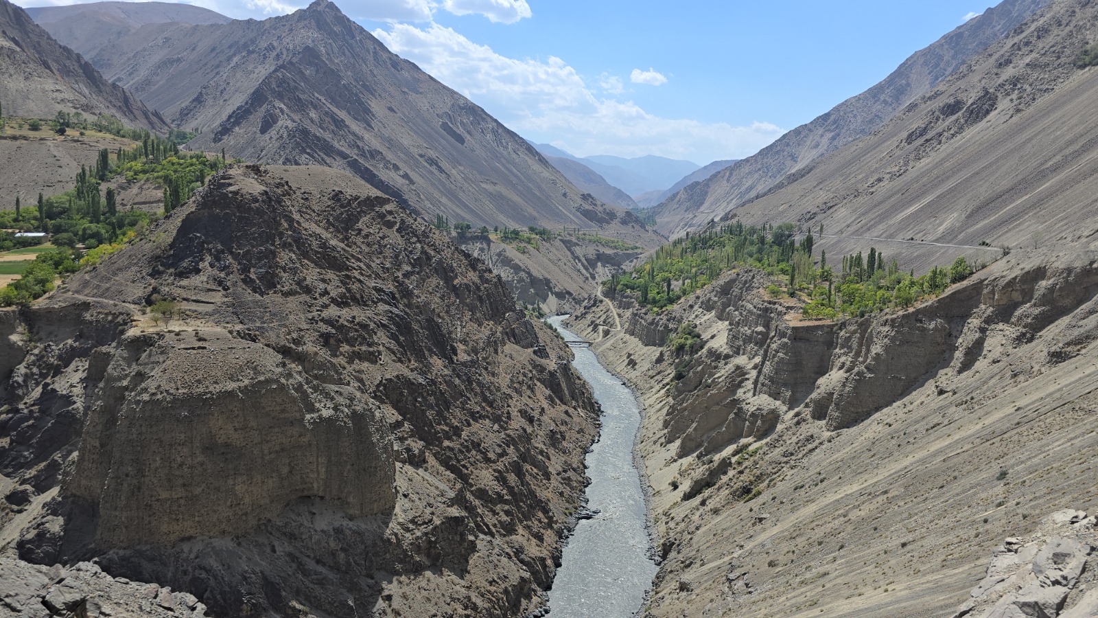
In terms of transboundary risks, the greatest threat in the Zaravshan River basin is posed by mudslides and landslides. In the upper reaches of the basin, which flows through Tajikistan and Uzbekistan, there are several moraine lakes that are potentially dangerous due to the risk of rupture. Their destruction could cause mudslides and floods, threatening the population and facilities located downstream.
In this regard, the expedition began by studying the situation at the source of the Zaravshan River in the Gorno-Matchinsky District of the Sughd Region, in a remote area. Particular attention was paid to the village of Vodif, which is most vulnerable to disasters. Residents face the threat of mudslides every year: in July 2021, meltwater washed away the only road, damaged potato fields, and disrupted the irrigation canal, resulting in the loss of about half of the harvest. In such conditions, access to the outside world can be cut off for months.
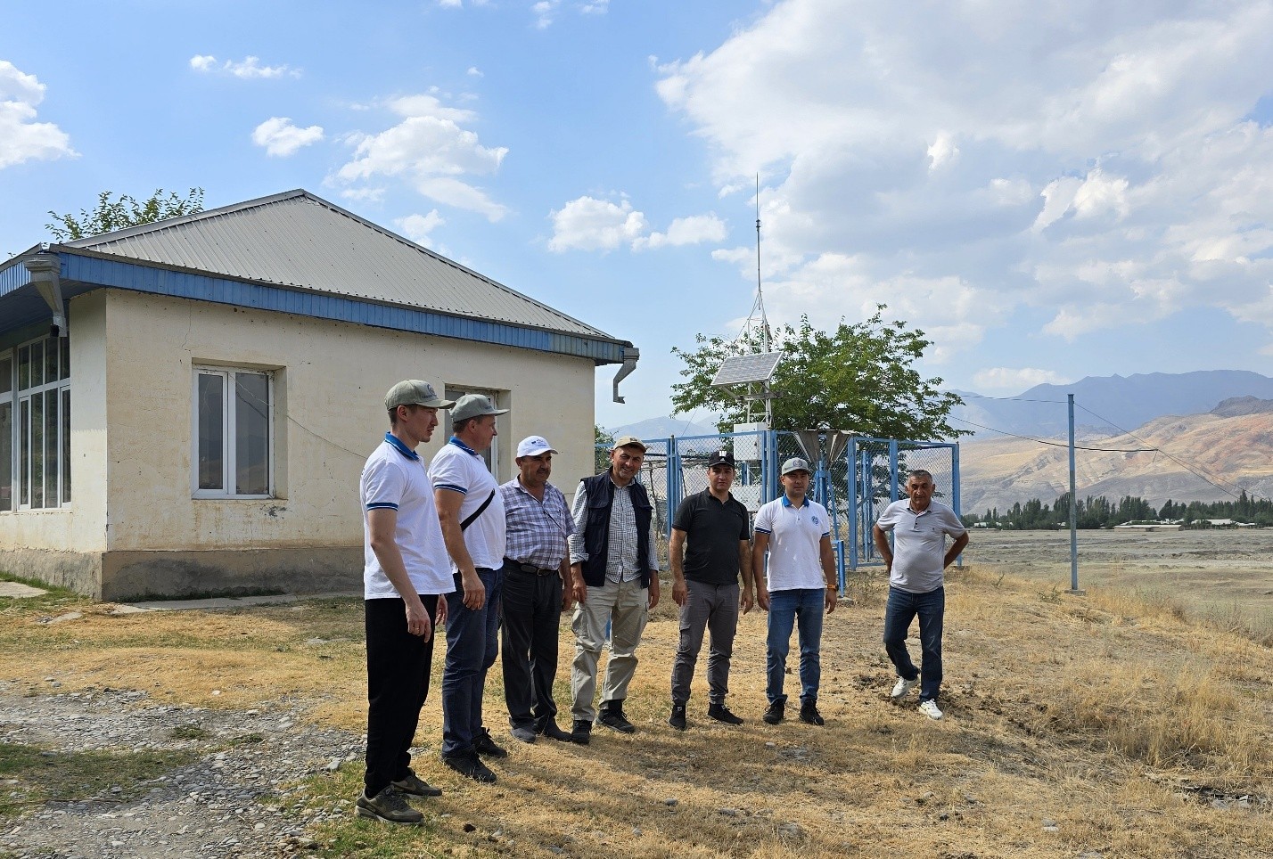
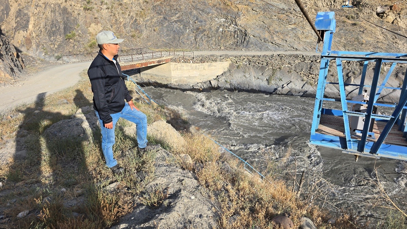
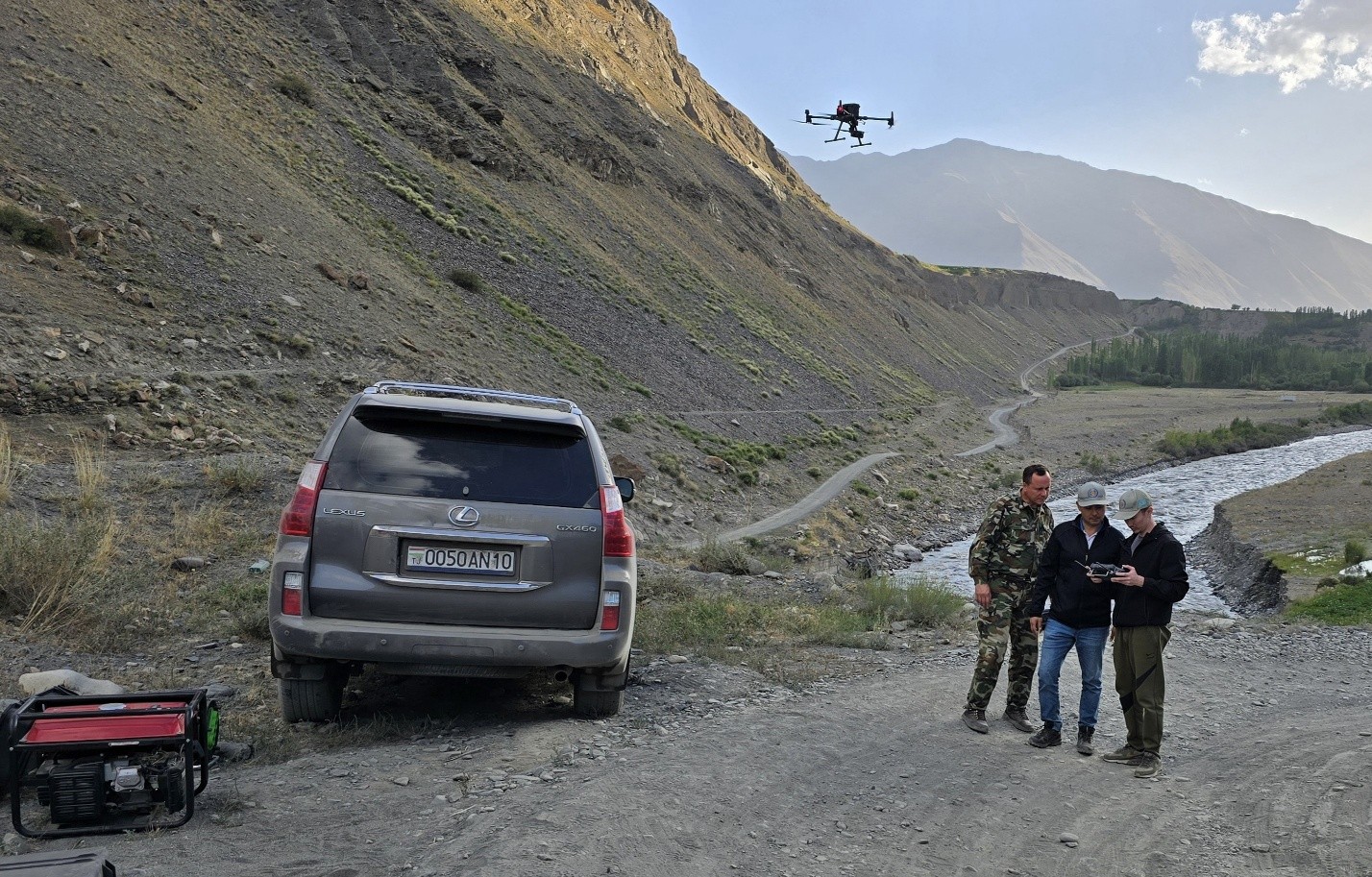
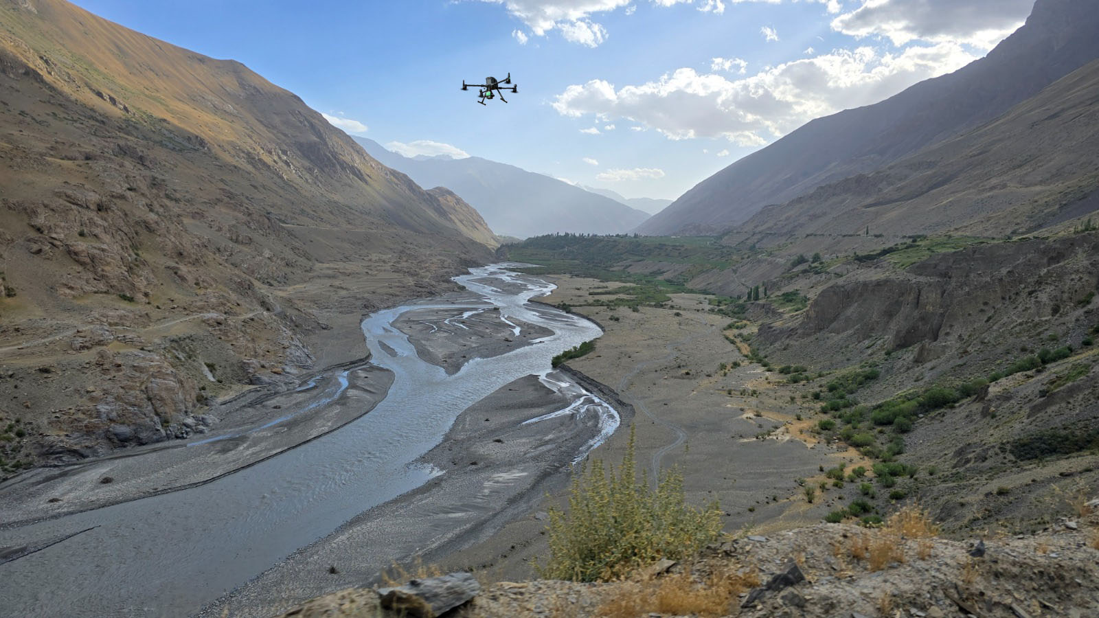
The existing hydrological station near the village of Khudgif in the upper reaches of the Zaravshan River was also examined in detail.
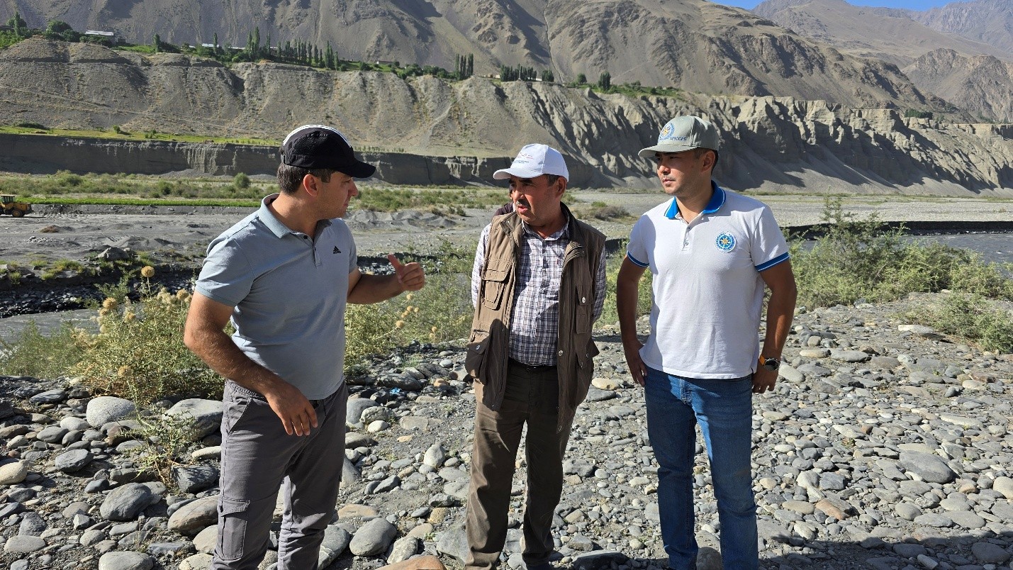
In the lower reaches, near the border with Uzbekistan, a group of experts studied the Dupuli hydrological station, located 14 km from the city of Penjikent.
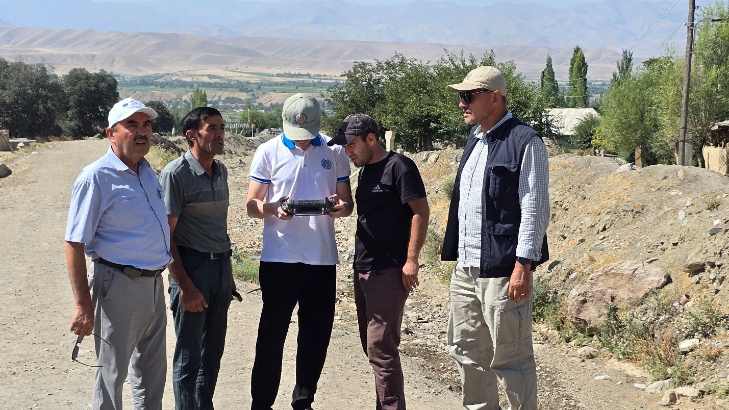
Special attention was paid to the village of Amondara, located 24 km from the district center of the Penjikent district of the Sughd region, with a population of over 3,000 people. It is one of the most landslide-prone settlements in the district. In 2021, heavy rains caused landslides that destroyed three houses, damaged 29 household plots, 10 hectares of agricultural land, and 10 km of rural roads. One person died.
Based on the results of field studies and with the aim of improving the hydrological monitoring system, experts proposed installing automated stations at the sites of the existing Dupu and Khudgif hydrological stations. This will modernize the existing system and create the basis for a transboundary early warning system for hydrological hazards. The stations will be integrated with each other, provide real-time data transmission, and be equipped with a full set of hydrometeorological sensors (precipitation, water level and flow, soil moisture, pressure, water turbidity, etc.).
The deployment of such stations in Tajikistan, followed by their integration with stations in Uzbekistan and Kazakhstan, will ensure the rapid exchange of hydrological information and risk data, minimizing false alarms.
In addition, it has been established that the settlements on the Zaravshan River that are most vulnerable to hydrological disasters do not have siren-voice systems (SVS). For effective public warning, it is recommended that these systems be installed along the river in the Gorno-Matchinsky and Penjikent districts, as well as the introduction of mobile applications for warning about hydrological emergencies.