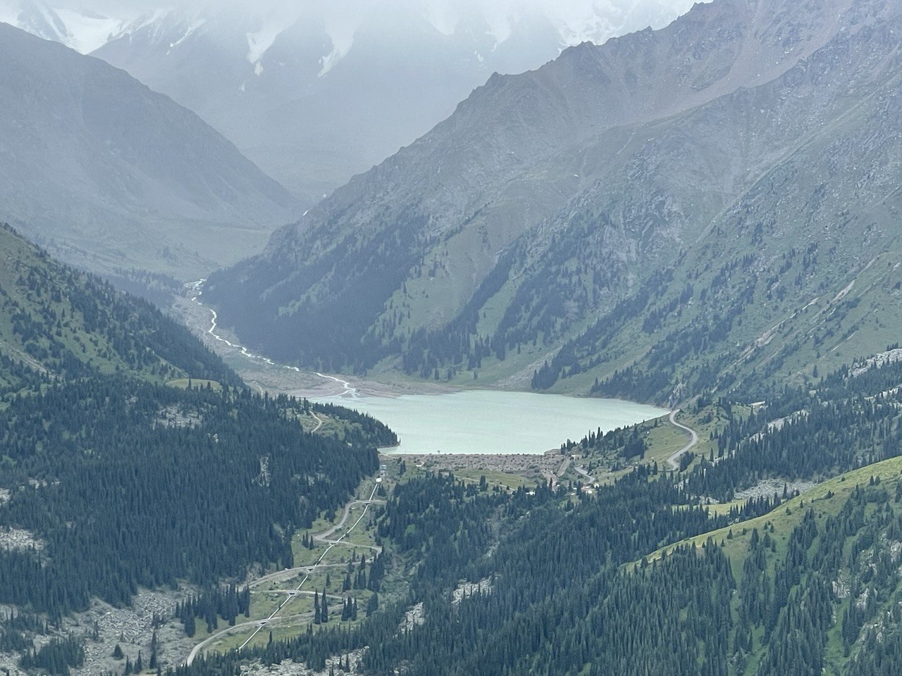
Aerovisual survey of high-altitude breakthrough hazardous lakes in Ulken Almaty River Basin
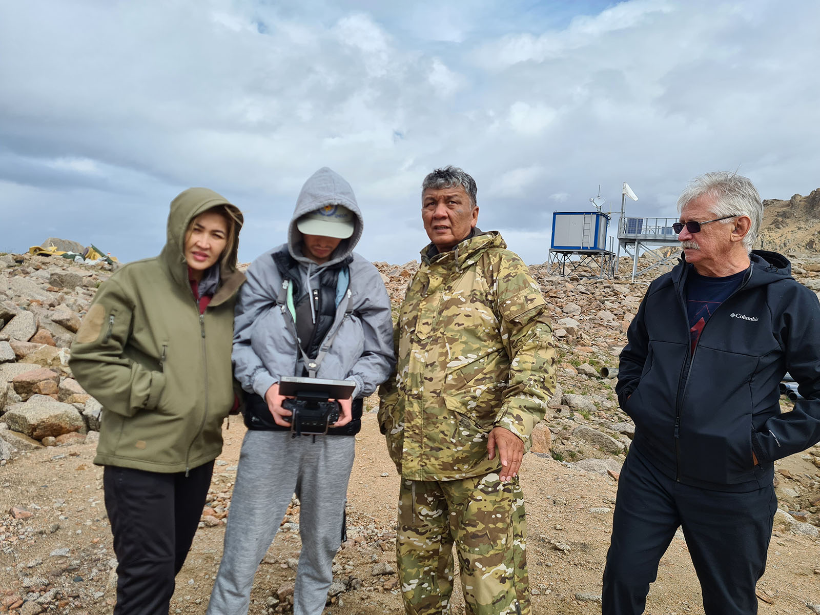
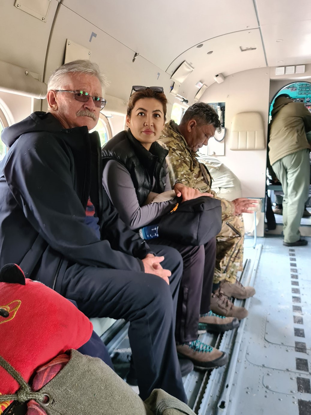
Within the frame of the OSCE and CESDRR Project “Improving the methodology and practice of monitoring, assessment of natural disaster risks using innovative information and communication technologies”, the joint technical working group (JTWG) has been implementing the 1 activity of the Project: Field visits and conducting field research on monitoring, disaster risk assessment of high-altitude breakthrough hazardous lakes and Ulken Almaty river basin using innovative information and communication technologies, such as UAV and aircraft.
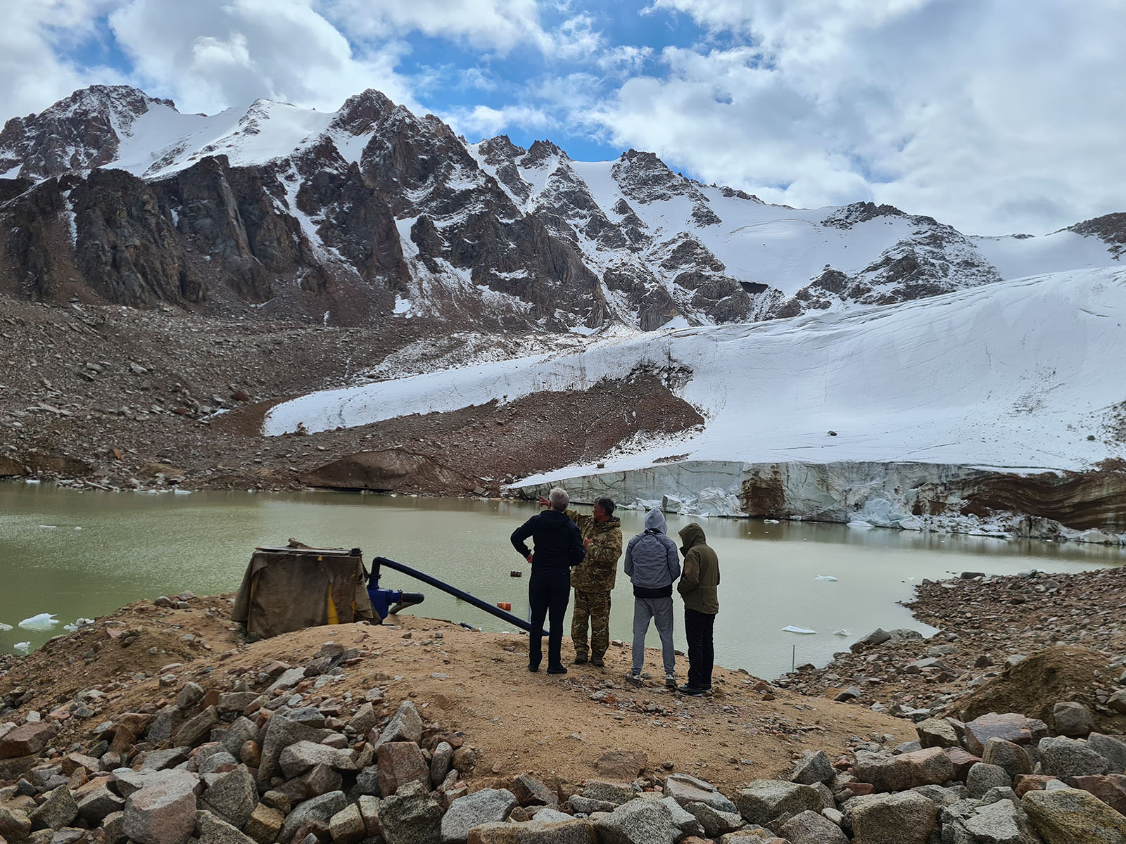
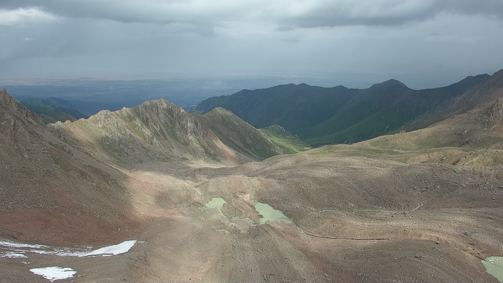
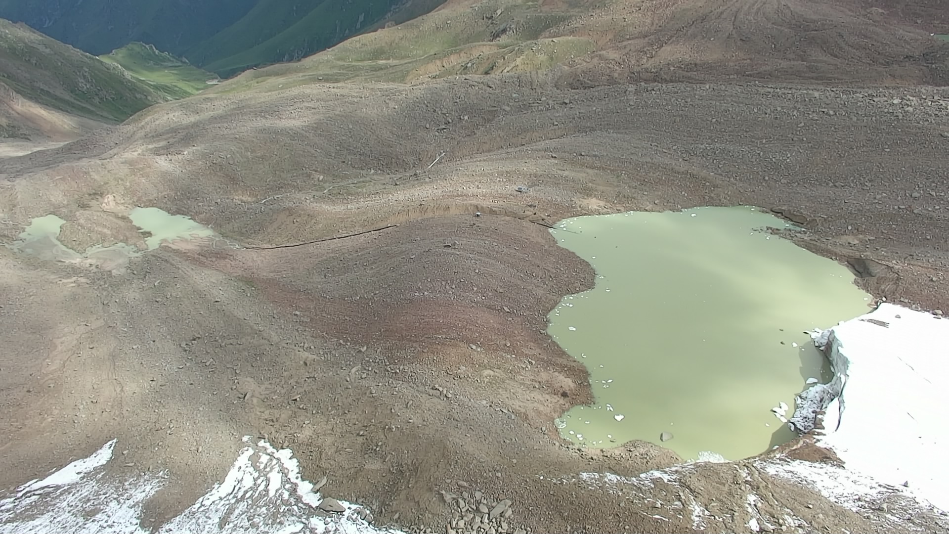
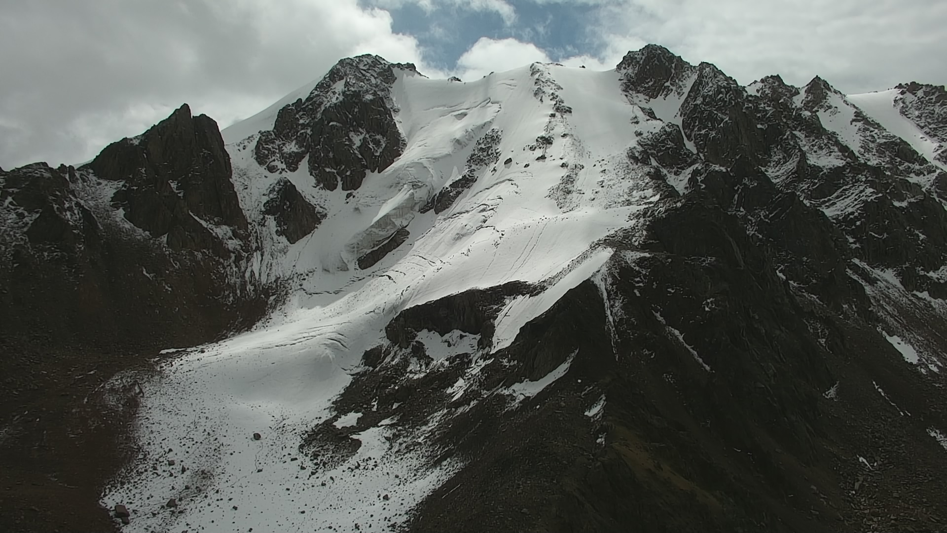
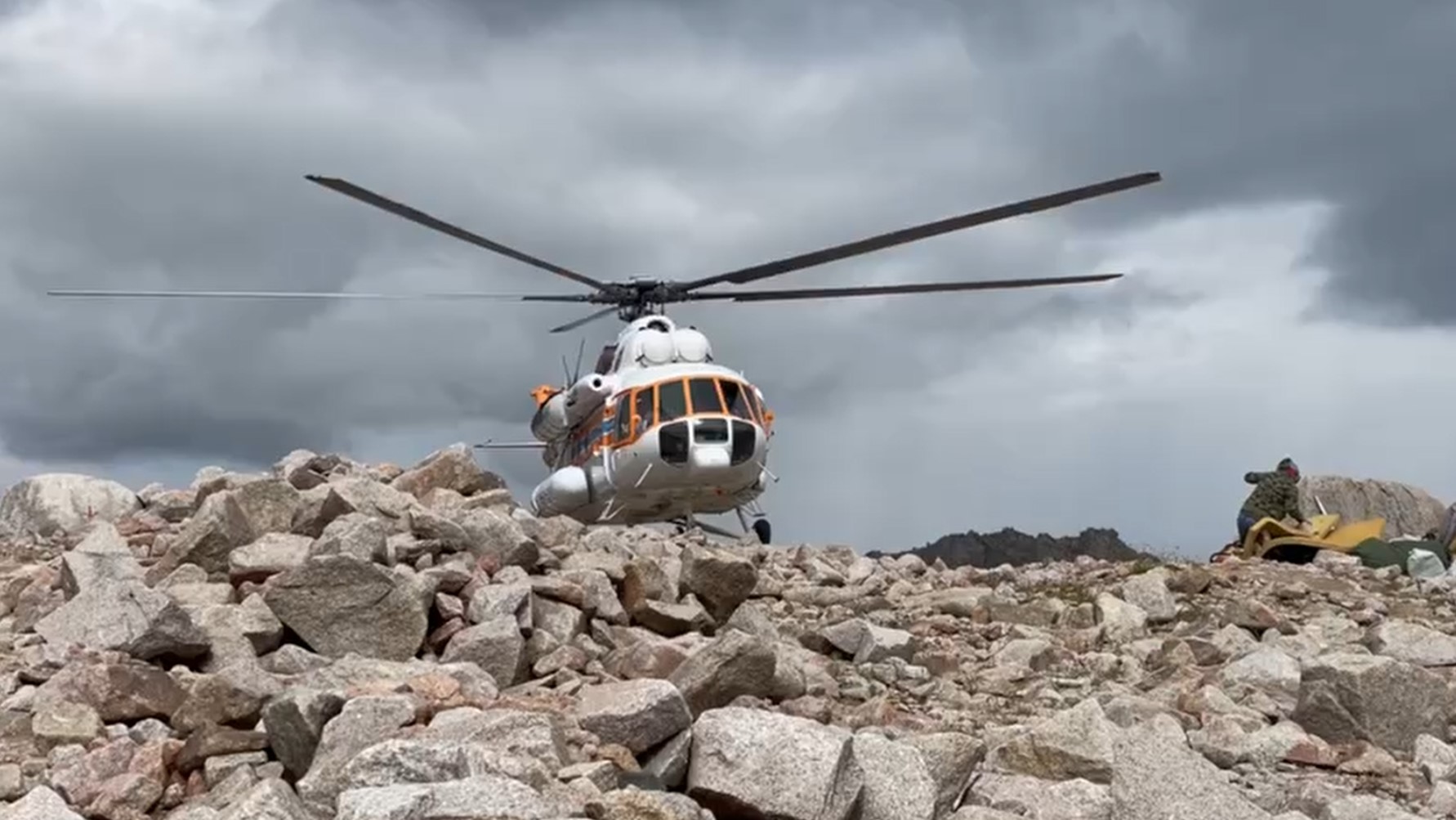
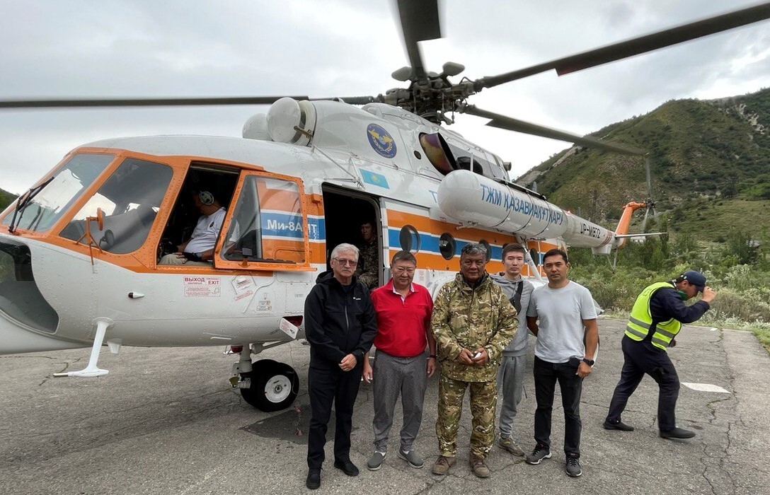
In this regard, on 1th of August, the JTWG with a support of Almaty city Emergency Department and State Organization “Kazselezashita” has conducted aerovisual survey of glacial lake №13 bis, located on the altitude higher than 3500 meter above sea level.
During the survey, experts have fulfilled bathymetric survey of the lake, examined condition of dam and glacier, as well as carried out orthophotomap and 3D terrain model.
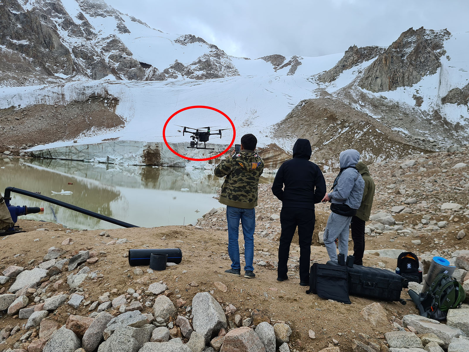
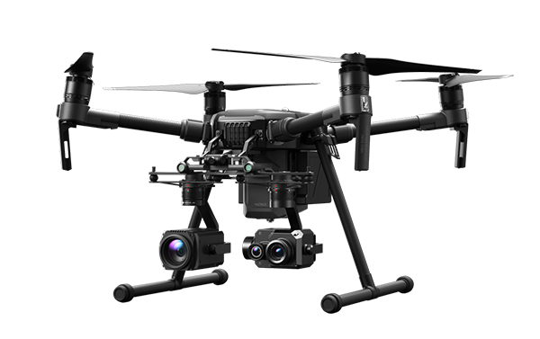
At the same time, the use of a drone in conditions of rarefied air and the absence of the Internet at an altitude of more than 4 thousand meters showed high performance.
The high-tech drone established automatic communication with 12 satellites and thus completed all the assigned tasks.
Field visits within the project are ongoing.